

Maanhaarrand Travel & Accommodation Guide
Your complete guide to visiting Maanhaarrand, South Africa.
7Listings
FromR1,220per night
Most popularHotel
About Maanhaarrand
Maanhaarrand is a small settlement in the North West Province of South Africa, sitting in the rocky Magaliesberg region west of Pretoria. The area draws visitors interested in outdoor activities, geological formations, and the quieter pace of the Highveld countryside.
Maanhaarrand sits at roughly 25.9 degrees south latitude in the North West Province, close to the boundary with Gauteng. The name itself is Afrikaans, referring to the mane-like ridge of the Magaliesberg mountain range that defines the landscape here. The coordinates place it approximately 60 to 70 kilometres west of Pretoria, making it accessible for a weekend trip from the city without requiring a long drive.
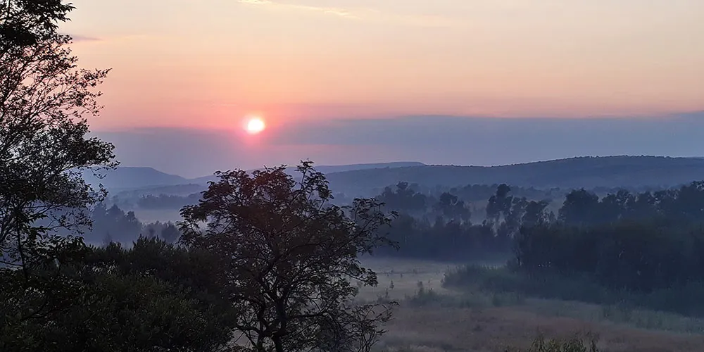
The Magaliesberg range is one of the oldest mountain formations on earth, estimated at around 2.3 billion years old. This geological age gives the area a distinctive character, with quartzite ridges, rocky outcrops, and the kind of vegetation typical of the bushveld transition zone. Hiking and trail running are popular activities, and the ridgelines offer long views across the surrounding farmland and valleys.
The broader Magaliesberg corridor has developed a reputation as a retreat area for Gauteng residents, and there are farms, guesthouses, and self-catering properties scattered throughout the region. Searching for Maanhaarrand accommodation will typically surface options ranging from farm stays to small lodges, many of them on working agricultural land. The area tends to be quieter than the more commercialised stretches of the Magaliesberg closer to Hekpoort or Magaliesburg town.
Nearby points of interest include the Skeerpoort valley to the east and the Hartbeespoort Dam area, which lies within about 30 to 40 kilometres depending on the route taken. The dam and its surroundings offer additional activities including water sports, markets, and the aerial cableway up the Magaliesberg face. Visitors based around Maanhaarrand can reach these easily on day trips.
The climate follows the Highveld pattern, with warm to hot summers that bring afternoon thunderstorms between October and March, and dry, mild winters with cold nights. Winter is generally preferred for hiking as the skies are clear and the vegetation is less dense, improving visibility on the trails. Summer visits bring green landscapes and active birdlife, particularly in the riverine areas along the base of the mountains.
Maanhaarrand sits at roughly 25.9 degrees south latitude in the North West Province, close to the boundary with Gauteng. The name itself is Afrikaans, referring to the mane-like ridge of the Magaliesberg mountain range that defines the landscape here. The coordinates place it approximately 60 to 70 kilometres west of Pretoria, making it accessible for a weekend trip from the city without requiring a long drive.
The Magaliesberg range is one of the oldest mountain formations on earth, estimated at around 2.3 billion years old. This geological age gives the area a distinctive character, with quartzite ridges, rocky outcrops, and the kind of vegetation typical of the bushveld transition zone. Hiking and trail running are popular activities, and the ridgelines offer long views across the surrounding farmland and valleys.
The broader Magaliesberg corridor has developed a reputation as a retreat area for Gauteng residents, and there are farms, guesthouses, and self-catering properties scattered throughout the region. Searching for Maanhaarrand accommodation will typically surface options ranging from farm stays to small lodges, many of them on working agricultural land. The area tends to be quieter than the more commercialised stretches of the Magaliesberg closer to Hekpoort or Magaliesburg town.
Nearby points of interest include the Skeerpoort valley to the east and the Hartbeespoort Dam area, which lies within about 30 to 40 kilometres depending on the route taken. The dam and its surroundings offer additional activities including water sports, markets, and the aerial cableway up the Magaliesberg face. Visitors based around Maanhaarrand can reach these easily on day trips.
The climate follows the Highveld pattern, with warm to hot summers that bring afternoon thunderstorms between October and March, and dry, mild winters with cold nights. Winter is generally preferred for hiking as the skies are clear and the vegetation is less dense, improving visibility on the trails. Summer visits bring green landscapes and active birdlife, particularly in the riverine areas along the base of the mountains.
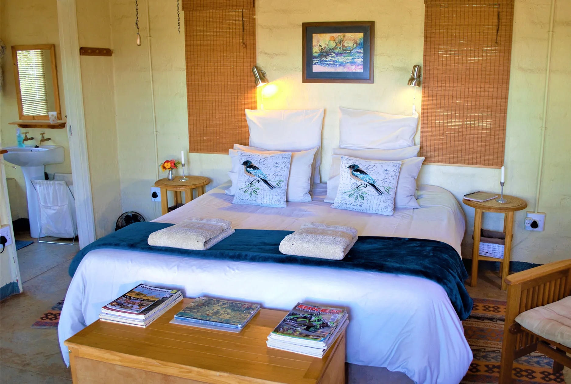
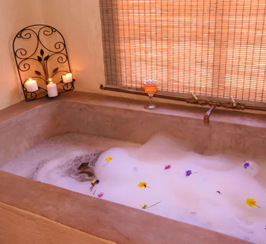
Types of Accommodation in Maanhaarrand
Featured Stays in Maanhaarrand
From
R 950
Per night for two in March
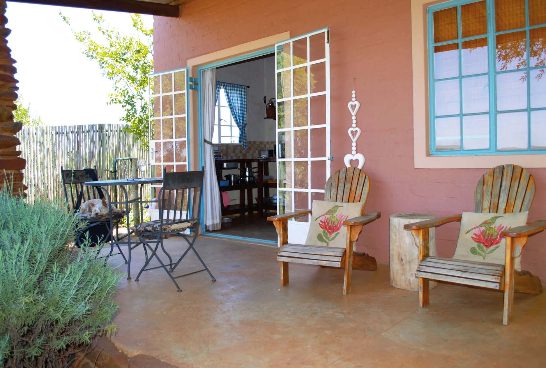
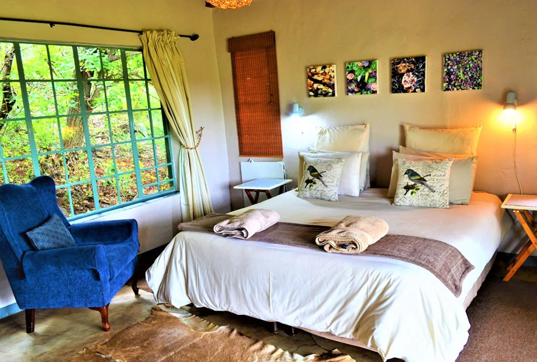
Saamrus Guest Farm offers pet-friendly, self-catering accommodation on a farm in Magaliesburg, Gauteng. Nine cottages sit in a woodland valley on 500 hectares of unspoiled nature, about one hour's drive from Johannesburg and Pretoria.
Parking
Full Kitchen
Hiking

Saamrus Guest Farm
Self-catering
From
R 950
Per night for two in March
Parking
Full Kitchen
Hiking
Accommodation Prices in Maanhaarrand
| Type | Listings | From | Average | Up To |
|---|---|---|---|---|
| Hotel | 2 | – | – | – |
| Lodge | 2 | – | – | – |
| Boutique Hotel | 1 | – | – | – |
| Self-catering | 1 | – | – | – |
Maanhaarrand Map
Nearby Destinations
Browse All Maanhaarrand Accommodation
View all 7 accommodation options in Maanhaarrand with photos, prices, and availability.
Browse All Accommodation